
Page 30 - Hudson Valley Regional Travel Guide - 2022
P. 30
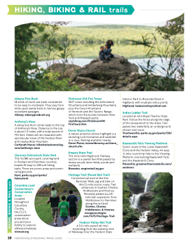
                                HIKING, BIKING & RAIL trails
   Albany Pine Bush
18 miles of multi-use trails considered to be easy to moderate. They vary from wide-open sandy trails to narrow, grassy woodland passages.
Albany; albanypinebush.org
Anthony’s Nose
A steep but short climb leads to the top of Anthony’s Nose. Distance to the top is about 1.3 miles, with a total ascent of 792 feet. Hikers will be rewarded with spectacular views of the Hudson River and nearby Bear Mountain.
Cortlandt Manor; hikethehudsonvalley. com/anthonys-nose
Clarence Fahnestock State Park
This 14,086-acre park, covering land
in Putnam and Dutchess counties, boasts 33 easy to difficult hiking
trails. There are picnic areas and scenic campgrounds.
Kent; parks.ny.gov/parks/ fahnestock
Columbia Land Conservancy’s Conservation Areas
Located throughout Columbia County,
the CLC’s conservation areas allow
you and your family to explore different habitats. clctrust.org
Dickinson Hill Fire Tower
360° views including the Adirondack Mountains and Helderberg Mountains, plus the Green Mountains
of Vermont and the Taconic Range, which form the border between New York and Massachusetts. cnyhiking.com/DickinsonHill FireTower.htm
Dover Stone Church
A nature preserve whose highlight is a stunning rock formation and waterfall in a cave. Parking available nearby. Dover Plains; townofdoverny.us/stone_ church.cfm
Empire State Trail
The nine-mile Maybrook Trailway section is a paved trail that passes by dense woods, farm fields, ponds and wetlands.
Brewster; empiretrail.ny.gov
Heritage Trail (Paved Rail Trail)
Converted rail bed of the Erie Railroad. Walk, jog and bike on
this 12-mile scenic route. Trail entrances in Goshen, Chester,
Middletown and Monroe. Recently added is a 20-
mile trail expansion from Middletown to Harriman along the rail bed. Goshen, Chester,
Middletown, & Monroe; orangecountygov.
com/1475/Heritage-Trail
Hudson Valley Rail Trail
A 3.6-mile paved rail trail extending from the westerly end
of Walkway Over the Hudson State
Historic Park to Riverside Road in Highland, with multiple entry points. Highland; hudsonvalleyrailtrail.net
Indian Ladder Trail
Located at John Boyd Thacher State Park. Follow the fence along the edge of the escarpment to the stairs. Trail passes two waterfalls, an underground stream and caves.
Voorheesville; parks.ny.gov/parks/128/ details.aspx
Kaaterskill Falls Viewing Platform
Scenic views of the Lower Kaaterskill Clove and the Hudson Valley. An easy .6-mile round trip hike to the Viewing Platform overlooking Kaaterskill Falls and the Kaaterskill Clove.
Palenville; greatnortherncatskills.com/ outdoors
     28 HUDSON VALLEY REGIONAL TRAVEL GUIDE
 HIKING, BIKING & RAIL trails
